Where Is Cape Blanco on the Oregon Coast
 0
0
 0
0
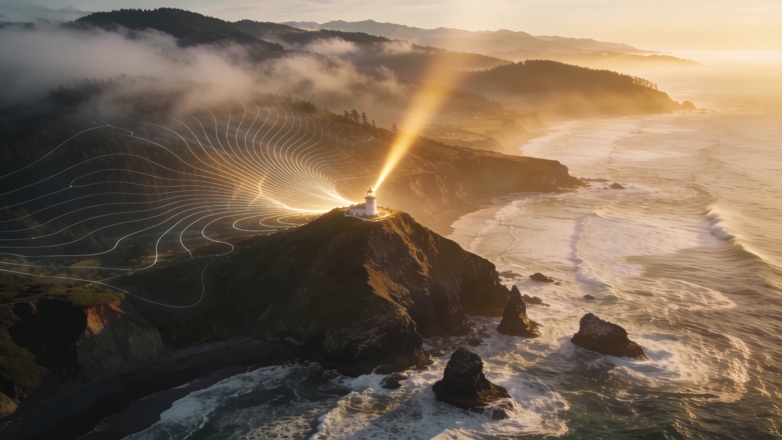
Cape Blanco sits at the far southwestern corner of Oregon, and if you’ve never visited, you’re missing one of the most dramatic coastal headlands in the Pacific Northwest. I’ve driven the Oregon coast from Astoria to Brookings more times than I can count, and Cape Blanco always stops me. It punches out further into the Pacific than any other point in Oregon, which means the wind hits hard, the views stretch wide, and the isolation feels earned.
Here’s what you need to know about exactly where it is, how to get there, and what makes the location worth your time.
The Exact Location
Cape Blanco sits roughly 9 miles north of Port Orford, which itself sits about 27 miles north of Gold Beach on US Highway 101. The cape occupies the southwestern tip of Curry County, placing it well south of the more-visited stretches of Oregon coast near Lincoln City or Cannon Beach.
The geographic coordinates land at approximately 42.84 degrees north latitude and 124.56 degrees west longitude. That western longitude makes Cape Blanco the westernmost point in Oregon, a fact that gets repeated on every roadside marker in the area and for good reason. You are standing at the edge of the contiguous state’s most western tip.
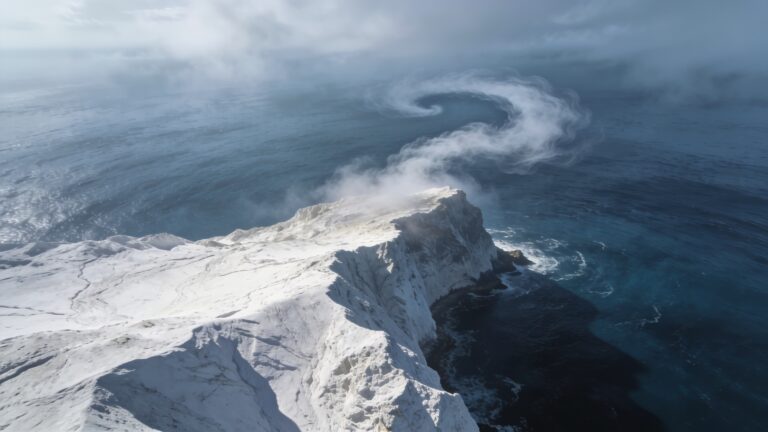
The headland rises about 200 feet above the Pacific. On a clear day from the top, you can see for miles up and down the coast. On a stormy day, which happens often here, you’re watching one of the most raw weather events the Oregon coast can produce.
How to Get There
From US-101, the turnoff for Cape Blanco State Park is well-marked. You head west on Cape Blanco Road for about 5 miles through open ranch land and coastal forest before the road ends at the park.
| Nearest City | Distance to Cape Blanco | Travel Direction |
|---|---|---|
| Port Orford, OR | 9 miles north | Head north on US-101, then west on Cape Blanco Road |
| Gold Beach, OR | 36 miles south | Head north on US-101 |
| Coos Bay, OR | 55 miles north | Head south on US-101 |
| Eugene, OR | 160 miles east | Take OR-42 west to US-101 south |
| Portland, OR | 310 miles north | Take I-5 south to US-101 |
The drive down Cape Blanco Road is an experience on its own. You pass the Hughes House, a Victorian-era farmhouse that has been restored and opened to the public. The road keeps dropping toward the ocean until the lighthouse appears ahead of you, white and compact against the sky.
What the Cape Blanco Lighthouse Tells You About the Location
The lighthouse was built in 1870 and has operated longer than almost any other light on the Oregon coast. The fact that the federal government placed a lighthouse here in 1870 tells you everything about the geographic significance of this cape. Ships rounding the southwestern corner of Oregon needed a marker badly. The cape juts far enough into the Pacific that it created a genuine navigational hazard in the days before GPS.
The lighthouse sits at about 245 feet above sea level when you include the tower height, making it the highest lighthouse on the Oregon coast. That elevation is a direct result of the headland’s geology, a thick basalt formation that resists erosion far better than the softer cliffs to the north and south.
The Surrounding Area
Cape Blanco State Park covers the immediate headland and the beach below. The beach runs north along the mouth of the Sixes River, which empties into the Pacific just below the cape. That river mouth creates a productive area for fishing and wildlife watching.
Key features within a short distance of the cape include:
- Humbug Mountain State Park, located 6 miles south, with a 3-mile trail to a 1,756-foot summit
- Port Orford, the nearest town, with a working boat dock and a handful of solid restaurants
- Sixes River, which runs inland through farm and forest land and offers steelhead fishing in season
- Battle Rock Wayside in Port Orford, a coastal park built around a dramatic offshore sea stack
- The Elk River, about 4 miles north, another productive fishing and wildlife corridor
The broader region is Curry County, which covers a long stretch of the southern Oregon coast. The county seat is Gold Beach, about 36 miles south. The whole area runs quiet, and Cape Blanco sits at the quieter end of a quiet county.
Why the Location Matters Practically
Cape Blanco gets more wind than virtually any other spot on the Oregon coast. The National Weather Service consistently records it as one of the windiest points in the continental United States. That’s a direct consequence of the geography. The headland sticks so far west into open ocean that Pacific storms hit it without any land buffer whatsoever.
If you’re planning a visit, this matters for campsite choice, hike timing, and what you wear. The state park has a campground on the protected eastern side of the headland, which cuts the wind exposure considerably compared to the open lighthouse area. I always tell people to bring a layer they consider too warm for the season, then add one more.
Key Takeaways
Cape Blanco is located on the southwestern Oregon coast, 9 miles north of Port Orford and accessible via a 5-mile spur road off US-101. It is the westernmost point in Oregon and sits in one of the most remote stretches of the Pacific Coast Highway corridor. The 1870 lighthouse, the elevated basalt headland, and the surrounding state park make it a place worth a dedicated trip rather than a quick pull-off.
If you’re planning a visit, build in at least half a day. Drive out Cape Blanco Road, walk the grounds around the lighthouse, drop down to the beach at the Sixes River mouth, and stop at Port Orford on the way back for a meal with a view of the harbor. That’s a full afternoon done right, and it gives you a real sense of why this particular stretch of coast has its own site, its own lighthouse, and its own kind of gravity.