
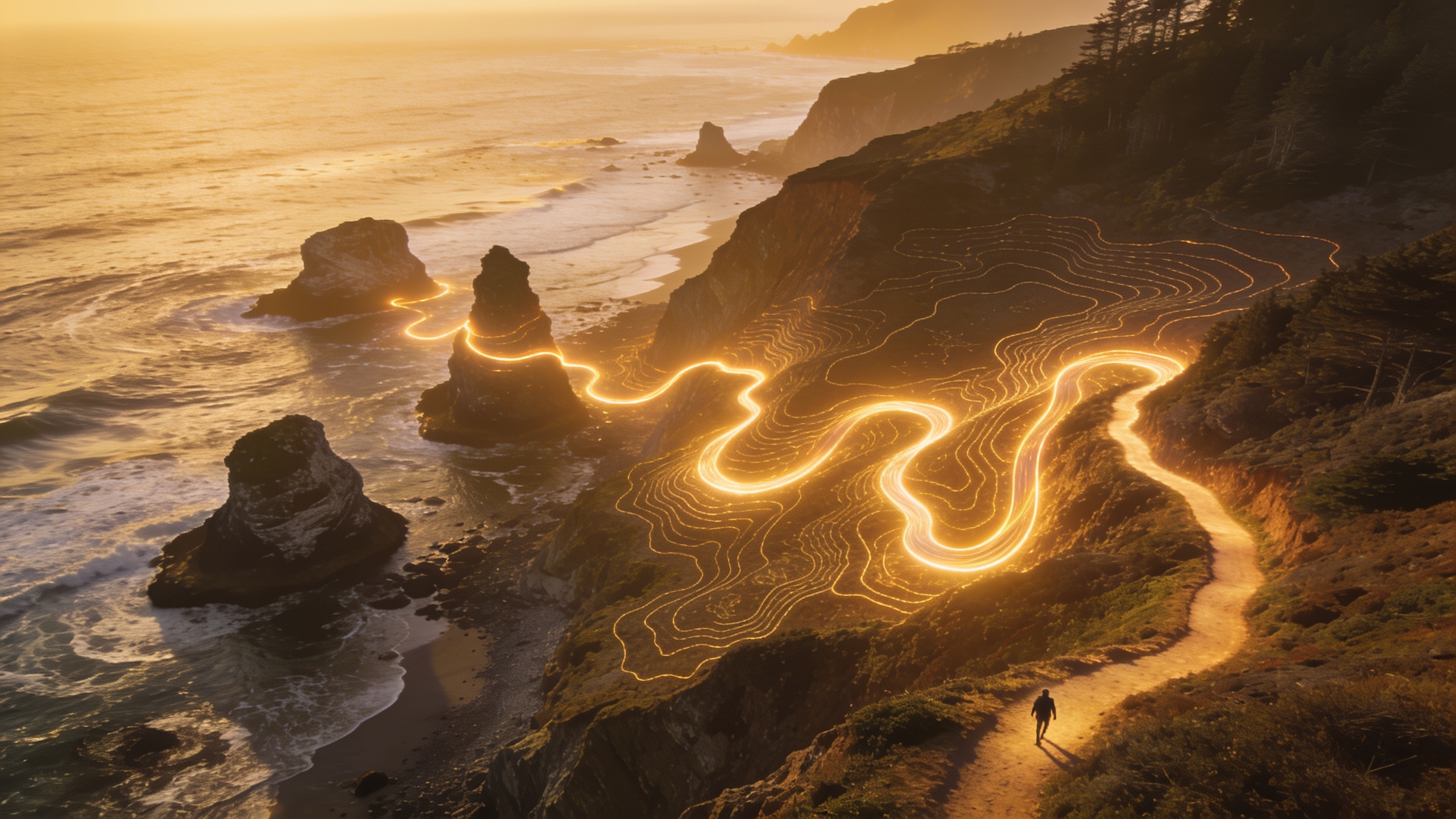
Cape Blanco State Park Scenic Trails and Routes on Oregon Coast
 0
0
 0
0
Cape Blanco sits at the westernmost point of Oregon, jutting into the Pacific with a confidence that matches the wind battering its headlands. At roughly 1,880 acres, this park holds more concentrated coastal drama per square mile than almost anywhere else on the Oregon Coast. If you plan to hike here, you need a clear picture of what each route offers, what the terrain demands, and when to go. This article gives you exactly that.
Why Cape Blanco Stands Apart
Most Oregon Coast parks string their trails through forest with occasional ocean glimpses. Cape Blanco turns that formula around. The headlands push you directly above the Pacific, with 200-foot sea cliffs dropping to black rock and churning surf below. The Sixes River cuts through the eastern edge of the park, adding freshwater habitat to the mix. That combination of exposed headland, river corridor, and old-growth Sitka spruce gives the trail system a range that rewards hikers of every preference.
The Cape Blanco Lighthouse, the oldest operating lighthouse in Oregon (built in 1870), anchors the northern end of the headland. Every major trail on the cape eventually feeds toward it or offers a view of it. Keep that landmark in mind when orienting yourself.
The Main Trails and What to Expect
Headlands Loop Trail
This is the signature route at Cape Blanco, and I recommend it as the first hike for any visitor. The loop runs approximately 1.7 miles along the headland rim and returns through a mix of open meadow and spruce edge. Elevation change is modest, around 150 feet total, but the exposure to wind is constant. Dress for it.
The western edge of the loop puts you on the cliff rim with unobstructed ocean views to the horizon. On clear days you can see Orford Reef, and the sea stacks below collect Brandt’s cormorants and common murres by the hundreds during nesting season. The path is wide and well-maintained, making it accessible for hikers with average fitness levels.
Sixes River Trail
For something quieter, the Sixes River Trail runs along the river’s south bank through mature Sitka spruce and red alder. The trail extends roughly 1.5 miles from the campground area down toward the beach access point. The canopy cuts the wind entirely, making this the right choice on days when the headlands feel brutal.
The river trail also gives you the best chance of spotting Roosevelt elk. I have seen herds of 20 or more in the meadows bordering the river, usually in the early morning or late afternoon. Move slowly and stay on the trail edge if you spot them.
Beach Access Route
A short connector path drops from the headlands down to the black sand beach at the base of the cape. The descent is about a quarter mile, steep in one section, with packed gravel giving way to loose sand near the bottom. The beach itself stretches north toward the Sixes River mouth, offering tidal flat exploration at low tide.
Check tide tables before committing time to the beach. The flat north of the river mouth disappears at high tide, and the rocky sections south of the access point become hazardous with surge.
Trail Comparison at a Glance
| Trail | Distance | Difficulty | Best Feature |
|---|---|---|---|
| Headlands Loop | 1.7 miles | Easy to Moderate | Sea cliff views, lighthouse access |
| Sixes River Trail | 1.5 miles | Easy | Old-growth spruce, elk habitat |
| Beach Access Route | 0.5 miles | Moderate | Tidal flats, sea stack views |
| Lighthouse Road Walk | 0.8 miles | Easy | Historic lighthouse, open meadow |

Seasonal Considerations
Cape Blanco receives around 90 inches of rain annually. That is a real number, and it shapes when hiking here is most rewarding.
- Spring (April to June) brings wildflowers to the headland meadows and whale migration just offshore. Gray whales move north in April and May, and the cliff edge is one of the better land-based viewing spots on the coast.
- Summer (July to September) delivers the most reliable dry weather, though morning fog is standard until 10 or 11 a.m. Expect high trail use on weekends in August.
- Fall (October to November) thins the crowds and turns the alder groves gold. Storm watching begins in earnest by late October.
- Winter (December to March) brings the full force of Pacific weather. Trails remain open, and storm watching from the headlands is spectacular, but wind speeds regularly exceed 60 mph. Layer aggressively.
Practical Tips Before You Go
The park charges a day-use fee, currently $5 per vehicle, payable at a self-serve station near the entrance. The campground has 58 sites with electrical hookups, making it popular with RVers. If you plan a weekend visit in summer, book the campground well in advance.
Cell service at Cape Blanco is unreliable. Download offline maps before you arrive. The park map available at the entrance kiosk is accurate and worth grabbing.
Pets are allowed on trails but must stay leashed. The headland meadows have ground-nesting birds during spring, so a leash keeps your dog from disrupting active nests.

Key Takeaways
Cape Blanco rewards visitors who come prepared and know which trail matches their goals. The Headlands Loop delivers the iconic sea cliff experience that defines this place. The Sixes River Trail offers solitude and wildlife. The beach route connects both worlds.
My honest recommendation is to combine the Headlands Loop with the beach connector on the same day, which takes about two hours at a relaxed pace. Save the river trail for a second morning, ideally starting before 8 a.m. when elk activity peaks.
Come with layers, waterproof boots, and enough time to sit on the headland rim and watch the Pacific for a while. That is what Cape Blanco is actually for.